- Menu
-

-
Camping
-
Knives and Defense
-
Gear and Wear
-
Optics and Electronics
-
Hunting and Fishing
-
Eating and Cooking
- Misc.
Customer Service
Products!
Payments
Within 24H/48H
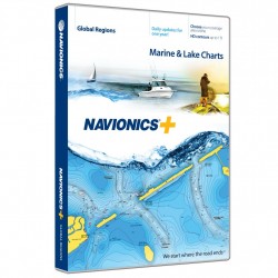
 View larger

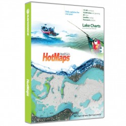
HotMaps Platinum West NAVIONICS
HotMaps Platinum
HotMaps Platinum West
Spend less time searching and more time fishing! Designed with the tournament angler in mind, HotMaps Platinum reveals lake bottom composition in one foot contours plus clearly marked road beds, foundations, bridges, brush piles, culverts, creek channels, and other underwater structure. Also find detailed coastlines including docks and boat ramp locations, Pro Staff additions, and coastal data with tides and currents.
HotMaps Platinum gives you detailed maps of over 18,000 lakes and growing with SonarCharts and Community Edits, plus Satellite Overlay, 3D View, Panoramic Lake Photos and exclusive one foot contours on 2,500 High Definition Lakes.
Features:
- Navaids, water depth, wrecks, rocks, obstructions, marinas, services, boat ramps and so much more
- User-defined data display for uncluttered charts
- Real-time display of position, course, speed, and track
- Simple plug and play operation
- Panoramic lake pictures (select HD survey lakes)
- Satellite photo overlay (HD survey lakes)
- 3-dimensional view (HD survey lakes)
- Coverage Area: AZ, CA, CO, ID, MT, ND, NV, OR, SD, UT, WA, WY
NAVIONICS.MSD/HMPT-W6
821245145949

30 other products in the same category: Navigation and Accessories
-
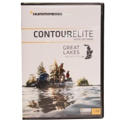
CONTOUR ELITE- GREAT LAKES HUMMINBIRD
$148.95 $149.95
-
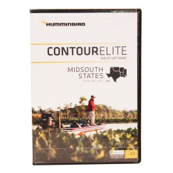
CONTOUR ELITE- MIDSOUTH STATES HUMMINBIRD
$148.95 $149.95
-
Navionics Update World NAVIONICS
$128.00 $129.00
-

Navionics Update NAVIONICS
$98.00 $99.00
-
Navionics+ World NAVIONICS
$248.00 $249.00
-

Navionics+ NAVIONICS
$198.00 $199.00
-

HotMaps Platinum Canada NAVIONICS
$198.00 $199.00
-
HotMaps Platinum East NAVIONICS
$198.00 $199.00
-

HotMaps Platinum South NAVIONICS
$198.00 $199.00
-

HotMaps Platinum North NAVIONICS
$198.00 $199.00
-

AS GRP Precision GPS Receiver HUMMINBIRD
$148.99 $149.99
-
AS GPS HS Precision GPS Receiver w/Headng HUMMINBIRD
$198.99 $199.99
-
SMARTSTRIKE - GREAT LAKES HUMMINBIRD
$198.99 $199.99
-
GREAT LAKES PLUS HUMMINBIRD
$148.99 $149.99
-
ONTARIO HUMMINBIRD
$123.99 $124.99
-
GREAT LAKES HUMMINBIRD
$123.99 $124.99
-
HB SATVIEW - LOUISANA DELTA HUMMINBIRD
$148.99 $149.99
-
SMARTSTRIKE - NORTHEAST STATES HUMMINBIRD
$198.99 $199.99
-
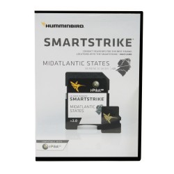
SMARTSTRIKE MID ATLANTIC STATES HUMMINBIRD
$198.99 $199.99
-
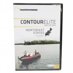
CONTOUR ELITE- NORTHEAST STATES HUMMINBIRD
$148.99 $149.99
-
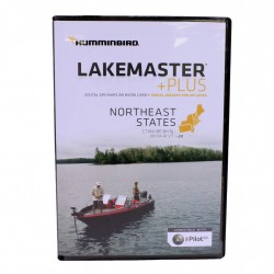
NORTHEAST STATES PLUS HUMMINBIRD
$148.99 $149.99
-
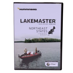
NORTHEAST STATES HUMMINBIRD
$123.99 $124.99
-
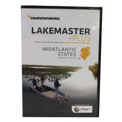
MID ATLANTIC STATES PLUS HUMMINBIRD
$148.99 $149.99
-
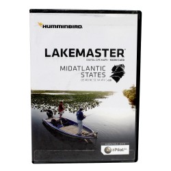
MID ATLANTIC STATES HUMMINBIRD
$123.99 $124.99
-
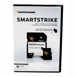
SMARTSTRIKE - WISCONSIN HUMMINBIRD
$198.99 $199.99
-
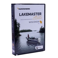
WISCONSIN PLUS HUMMINBIRD
$148.99 $149.99
-
WISCONSIN HUMMINBIRD
$123.99 $124.99
-
SMARTSTRIKE - GREAT PLAINS HUMMINBIRD
$198.99 $199.99
-
WOODS/RAINY PLUS HUMMINBIRD
$148.99 $149.99
-
GREAT PLAINS PLUS HUMMINBIRD
$148.99 $149.99