- Menu
-

-
Camping
-
Knives and Defense
-
Gear and Wear
-
Optics and Electronics
-
Hunting and Fishing
-
Eating and Cooking
- Misc.
Customer Service
Products!
Payments
Within 24H/48H
 View larger

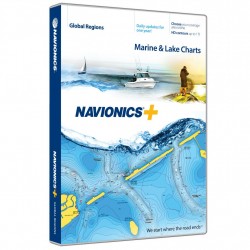
Navionics+ Caribbean & S. America NAVIONICS
Plus Chart Plotter
View detailed shorelines with marinas, docks and boat ramp locations. Increase your awareness of shallow waters and hazardous areas at any depth level including shoals, rocks, wrecks and more. Consult tides and currents. Fish smarter with up to 1 foot/0.5 m HD contours, you will find the best fishing spots. Enhance your favorite areas. SonarChart becomes more precise every day with sonar logs contributed by the Navionics Community from all major plotter/sounder brands and mobile devices. And with SonarChart Live, you can use your plotter/sounder to create real time personal HD bathymetry maps and upload sonar logs to Navionics. Navionics charts are updated with around 2,000 edits per day. You will have the latest Nautical Chart, SonarChart and Community Edits enriched with information from official sources, our own surveys and research, and contributions from fellow boaters. Additional features including Plotter Sync, Dock to dock Autorouting, SonarChart Live display on plotter and Advanced Map Options are available with select Raymarine models. Nautical Chart and SonarChartTM are preloaded and ready to use. Download Community Edits along with daily updates for one year.
Features:
- Max detailed charts for cruising, fishing and sailing.
- Get marine areas throughout the Caribbean and South America all on one card.
- Includes SonarChart 1 foot/0.5 m HD bathymetry map that reflects ever changing conditions, and Community Edits, valuable local information added by millions of Navionics Boating app users.
- Get the most current charts every day with daily updates for one year.
NAVIONICS.MSD/NAV+3XG
821245976420

30 other products in the same category: Navigation and Accessories
-
CONTOUR ELITE- MIDSOUTH STATES HUMMINBIRD
$148.95 $149.95
-
Navionics Update World NAVIONICS
$128.00 $129.00
-

Navionics Update NAVIONICS
$98.00 $99.00
-
Navionics+ World NAVIONICS
$248.00 $249.00
-

Navionics+ NAVIONICS
$198.00 $199.00
-

HotMaps Platinum Canada NAVIONICS
$198.00 $199.00
-
HotMaps Platinum West NAVIONICS
$198.00 $199.00
-
HotMaps Platinum East NAVIONICS
$198.00 $199.00
-

HotMaps Platinum South NAVIONICS
$198.00 $199.00
-

HotMaps Platinum North NAVIONICS
$198.00 $199.00
-

AS GRP Precision GPS Receiver HUMMINBIRD
$148.99 $149.99
-
AS GPS HS Precision GPS Receiver w/Headng HUMMINBIRD
$198.99 $199.99
-
SMARTSTRIKE - GREAT LAKES HUMMINBIRD
$198.99 $199.99
-
GREAT LAKES PLUS HUMMINBIRD
$148.99 $149.99
-
ONTARIO HUMMINBIRD
$123.99 $124.99
-
GREAT LAKES HUMMINBIRD
$123.99 $124.99
-
HB SATVIEW - LOUISANA DELTA HUMMINBIRD
$148.99 $149.99
-
SMARTSTRIKE - NORTHEAST STATES HUMMINBIRD
$198.99 $199.99
-
SMARTSTRIKE MID ATLANTIC STATES HUMMINBIRD
$198.99 $199.99
-
CONTOUR ELITE- NORTHEAST STATES HUMMINBIRD
$148.99 $149.99
-
NORTHEAST STATES PLUS HUMMINBIRD
$148.99 $149.99
-
NORTHEAST STATES HUMMINBIRD
$123.99 $124.99
-
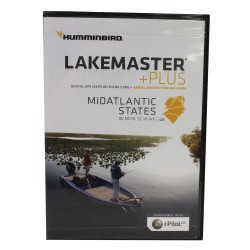
MID ATLANTIC STATES PLUS HUMMINBIRD
$148.99 $149.99
-
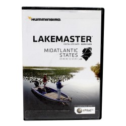
MID ATLANTIC STATES HUMMINBIRD
$123.99 $124.99
-
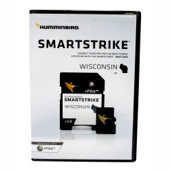
SMARTSTRIKE - WISCONSIN HUMMINBIRD
$198.99 $199.99
-
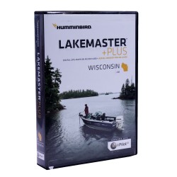
WISCONSIN PLUS HUMMINBIRD
$148.99 $149.99
-
WISCONSIN HUMMINBIRD
$123.99 $124.99
-
SMARTSTRIKE - GREAT PLAINS HUMMINBIRD
$198.99 $199.99
-
WOODS/RAINY PLUS HUMMINBIRD
$148.99 $149.99
-
GREAT PLAINS PLUS HUMMINBIRD
$148.99 $149.99